What is Mobile Mapping
What is mobile mapping? What are its benefits? Read all you need to know before implementing Mobile Mapping Systems in your company.
25 June 2020Ask a question

Why Collecting Geospatial Data
Whenever your objective is urban planning, street & road mapping, onshore & offshore mapping, emergency response planning, or designing digital maps, you might need to collect geospatial data. Geospatial data indicate where objects are absolutely or relatively positioned on Earth.
Over the last few years, Mobile Mapping has become one of the most popular geospatial processes, enabling companies and researchers to capture data faster and create accurate 3D models, also in difficult conditions.
What is Mobile Mapping
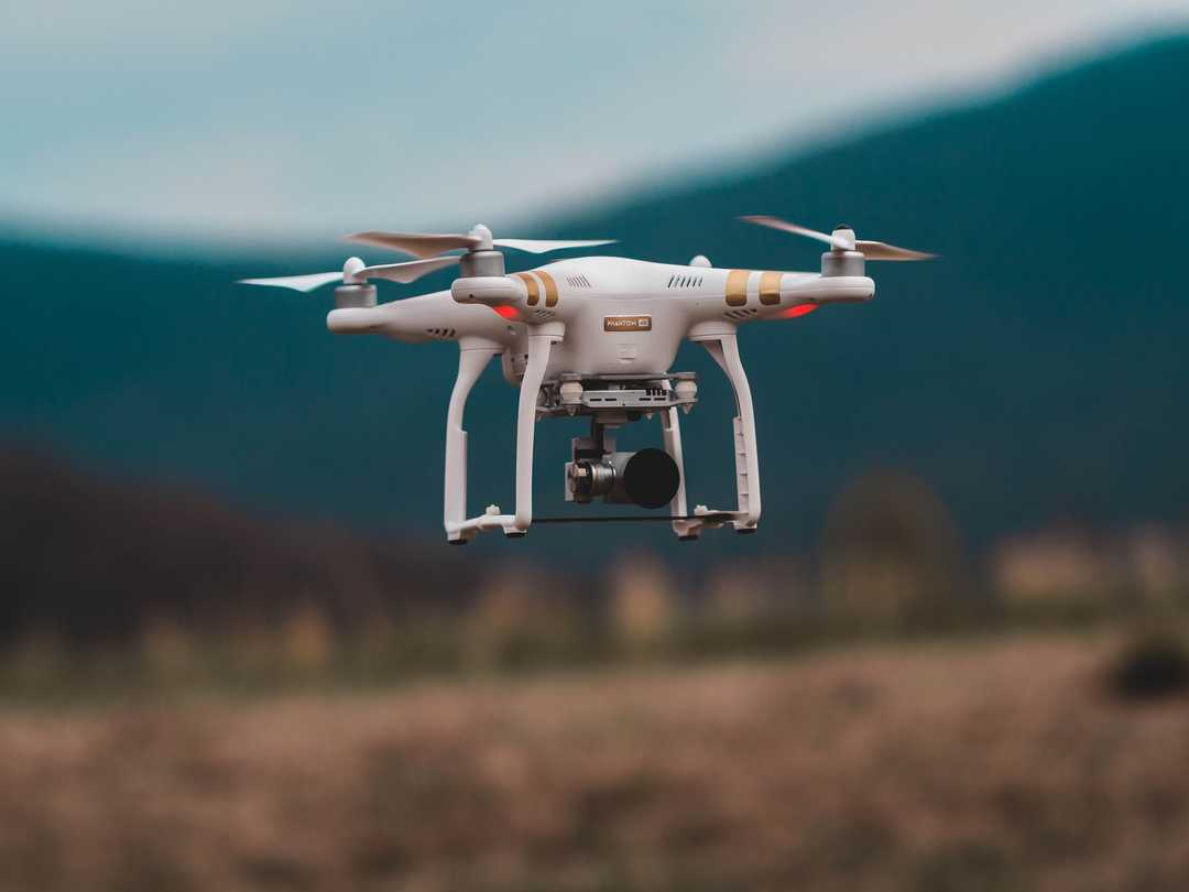
Mobile Mapping is the process of collecting geospatial data from mobile vehicles such as cars, drones, boats, trains or aeroplanes. Vehicles could be equipped with a range of sensors:
- Positioning (GNSS, GPS)
- Cameras
- LiDAR
- Radar
- More remote sensing systems

Through these systems, it is possible to collect:
- Light Detection and Ranging (LIDAR): optical remote-sensing technique that uses laser light to densely sample the surface of the earth.
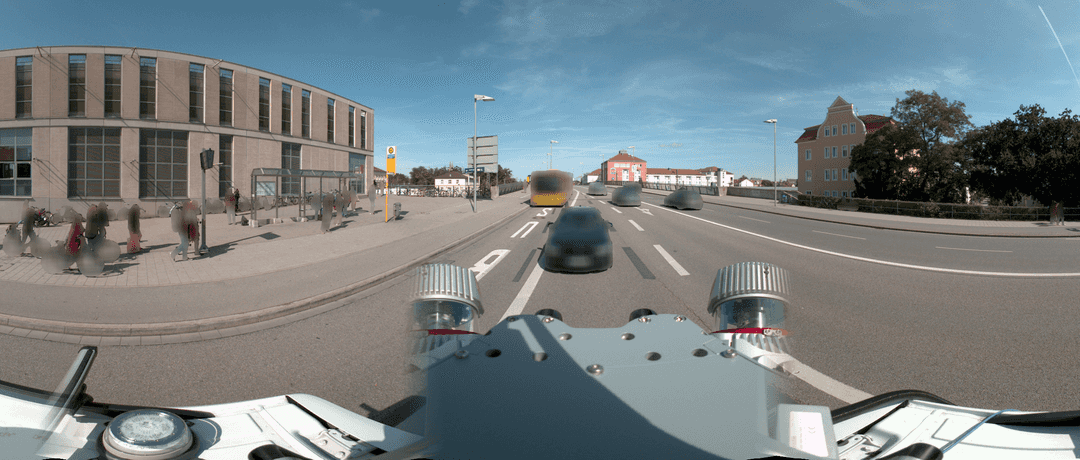
- Street-level (planar and panorama) imagery: photographs taken from the perspective of pedestrians or moving vehicles.
- Aerial imagery: photographs taken of an area from above using any manned or unmanned aerial vehicle.
Applications of Mobile Mapping Systems
A significant number of cities such as Amsterdam, Hong Kong and Vienna are implementing mobile mapping solutions for improving urban and road planning, as well as creating new digital services for their citizens. Also, large companies like Siemens, STRABAG and Airbus are adopting these solutions for improving manufacturing, construction and inspections.
Its applications range over several use-cases:
- Road/rail network management
- Asset management
- Site documentation for oil and gas, mining, energy, historical
- Construction Site monitorin
- Environmental monitoring
- Industrial inspections
- Street view data collection
- Surveillance and security
- ... and many others
Benefits of using Mobile Mapping
-
Speed: Mobile Mapping is much quicker than traditional surveying methods. In fact, according to a study by the Association for Project Management (APM), it could be up to 40 times faster than traditional static scanning tools (e.g. tripods).
-
Efficiency: Mobile mapping systems improve your scanning efficiency. For large projects with budget restrictions and time pressure, the use of mobile mapping devices allows you to be faster and take on more projects, with your existing workforce. Hence, it is significantly more cost-effective.
-
Flexibility: Adding a Mobile Mapping System to your product portfolio means you can be more flexible about price when negotiating with clients, combining different combinations of speed and data quality. In the end, the customer could pick the accuracy level that fits their needs, or mix and match accuracy levels for individual spaces throughout the asset.
-
Security: Last but not least, mobile scanners can be operated remotely, through a pulley system, autonomous vehicles or UAV, making it possible to survey and map inaccessible, dangerous or hostile environments.
Data Protection & Privacy
Particularly when collecting street-level or aerial imaging, Mobile Mapping Systems (MMS) often capture personal data such as faces, bodies and license plates. As we discussed in this article, these are the most fundamental and highly visible elements of our identity, thus they fall under the definition of personally identifiable information (PII) according to the GDPR.
Within the regulation, it is recommended to implement privacy by design: companies and organisations implement technical and organisational measures at the earliest stages of the product/operation design in such a way that safeguards privacy and data protection principles right from the start.
Most privacy laws around the world are consent-based, i.e. require explicit consent from the data subject. However, when you consider large imagery dataset, it could be time-consuming and costly to get explicit consent from hundreds of thousands, or even millions of individuals.
Since anonymized data are not considered personal information (Recital 26), anonymization has became the standard procedure when collecting and processing data.
- 📝 Checklist of things you need to consider when starting with the anonymization of mobile mapping street-level imagery.
- Struggling to gain public acceptance for your mobile mapping projects? Discover why citizens oppose being filmed without consent, and learn how anonymization can help. Explore the psychology behind these reactions and find effective strategies for building trust and ensuring compliance.
Mobile Mapping Image Blurring with Celantur

Celantur is one of the leading suppliers for image and video blurring solutions in the mobile mapping and surveying market. Our products help companies and government institutions to blur faces, persons, license plates and vehicles on more than 1 Billion images per year:
- Celantur Container is a Docker Container for image and video anonymization. It can be deployed on-premise and in the cloud, scalable for massive amounts of data.
- Celantur API is a public REST-based web API for image anonymization. Perfect for small projects and integrations into web apps and solutions.
- Celantur Edge SDK is a real-time image and video blurring SDK. It is easy to integrate into your C++ or Python workflows and can run on various platforms.
Our solutions are developed specifically for street-level and aerial imagery, and works well with various systems from different manufacturers:
- Trimble (MX7/MX9/MX50)
- Teledyne (Ladybug 5+, Ladybug 6)
- Leica (Pegasus:Two)
- FARO
- NavVis (VLX)
- Mosaic
- RIEGL
- DJI
- and many more
Under request, we offer our magnetic shield, allowing you to mitigate possible concerns about data collection and processing by communicating that identities are protected and anonymized through our service.

Summary
- Mobile Mapping Systems are vehicle-mounted cameras, sensors and lidars that collect geospatial data.
- Its applications range over several use-cases for public and private organizations.
- Using Mobile Mapping Systems is cost-effective, easy-to-use and strengthen your product portfolio.
- Data protection measures (e.g. blurring of faces and license plates) need to be included while collecting image and video data.
Ask us Anything. We'll get back to you shortly